History:
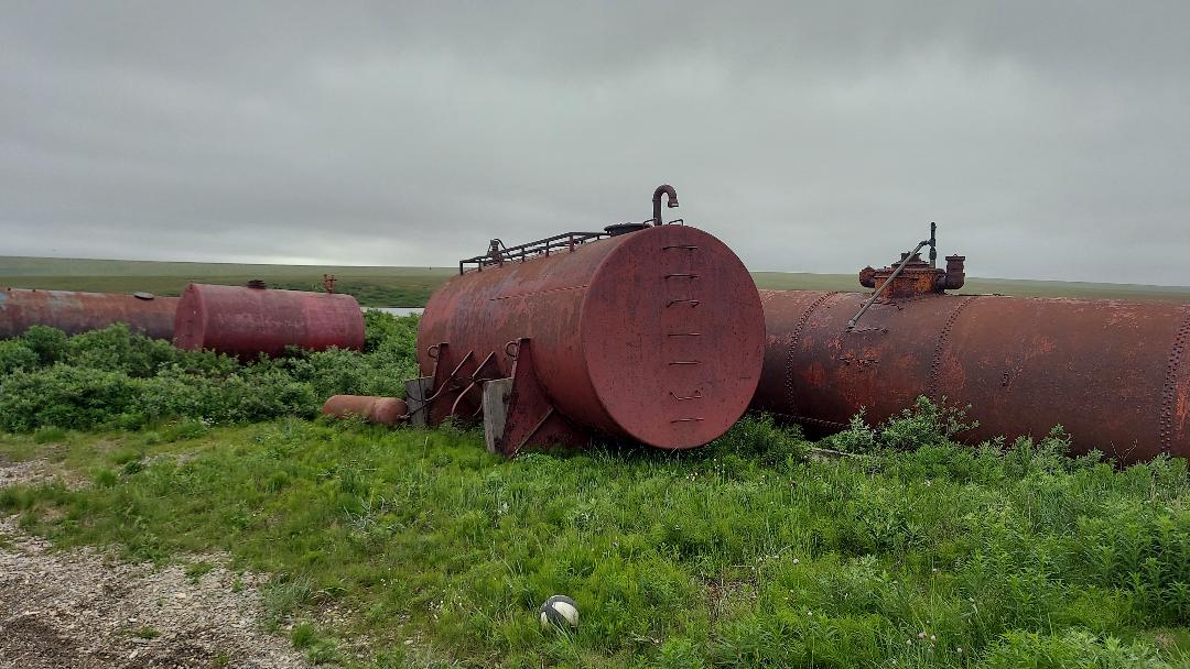
The site includes nine large fuel tanks and 1 small propane cylinder. 65.25131/-166.356656 It is located right next to a community basketball tank. There were no indications that any of the tanks were in use, but they had not been labeled as inactive or decommissioned. They date from the 1980s-1990s as are not on the Division of Community and Regional Affairs (DCRA) 1980 map, but they are on the 1996 map. The closest tank is approximately 50 feet from Grantley Harbor to the east and approximately 150 feet to Freshwater Lake. When placed on the site it is reported by community members there were a few inches of substance in the bottoms of a few of the tanks. Site is .04 acres.
Concerns:
The site is located next to a basketball court that the community uses. There is a concern for health and safety as the community has been afraid that the tanks have leaked petroleum product on the soils and it possibly transferring into their homes and offices, they are also concerned that there may be leachate going into the freshwater lake 50 feet away. Directly across the road 150 feet is Grant Harbor where all of their subsistence fishing and fish racks are located.
The Community would like to see the site tested and re used as a green space free from contaminants that can affect their fresh water source and their children could no longer climb on or in the tanks and they could feel confident that the soils are clean and fresh. There is a large wild chive population there that the community is interested in harvesting when it is safe.
Actions:
7/2014: 2014 CIAP WEAR Trip Report Teller
7/2023: Brownfield Program Manager and Contractor conducted site visit
7/2023: Eligibility Worksheet submitted to EPA/DEC
1/2024: Phase I Report
7/2024: Phase II testing.
2/2025: Phase II ESA Report of Findings.
8/2025: Community Reuse Visioning Meeting.
11/2025: Closure letter.

