History:
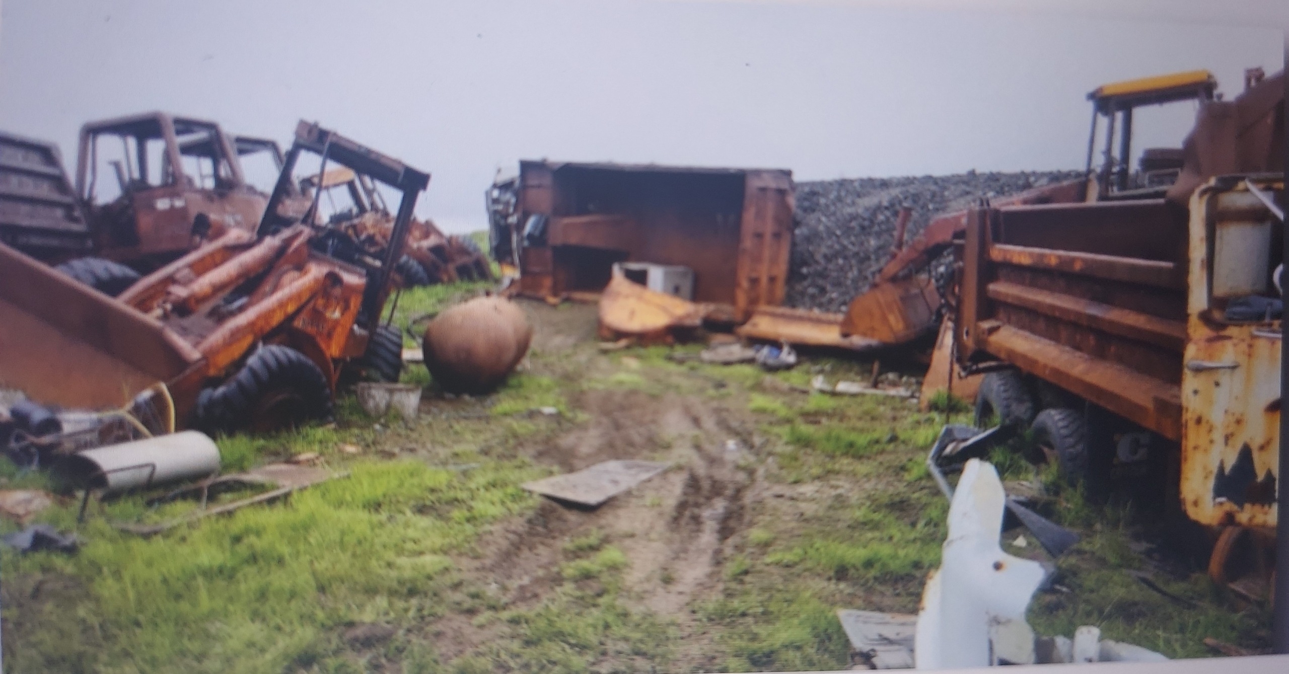
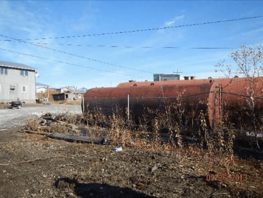
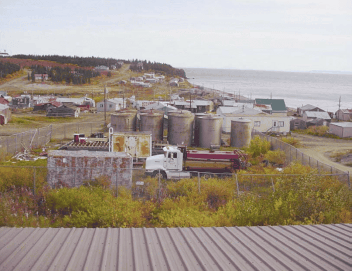
Location of site is 64.616541 North, -162.263164 West and the Elim Native Corporation is the current owner. Previously the site was owned by the Bureau of Indian Affairs who issued a permit to AVEC from 1973 to 2005 to use the property to construct facilities and install electrical utility service to the village of Elim. AVEC operated a power plant which utilized up to nine above ground storage tanks. Site is 0.04 acres. It is unknown at this time if it will be suitable for unrestricted use.
Concerns:
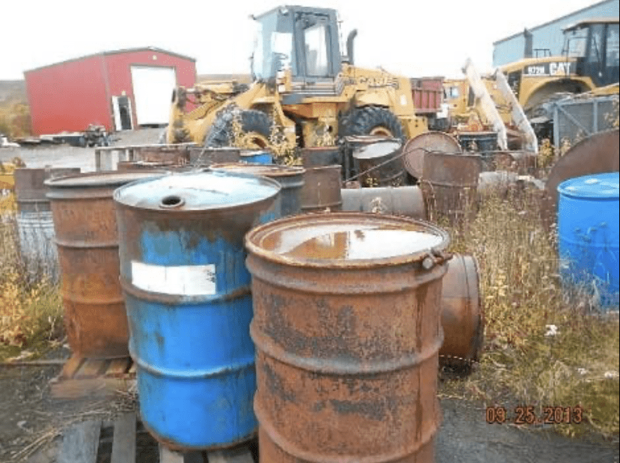
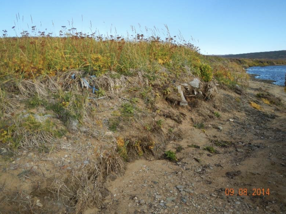
The community recently dug pits near the area and the smell of diesel permeated the air and they are very concerned that there is petroleum contamination as represented by the test results in the ADEC’s Preliminary Assessment: Five samples exceeded the most stringent CUL. Samples 2407ELIM-TANK01SS (6” bgs), 2407ELIMTANK02SS (9” bgs), 2407ELIM-TANK02SUB (14” bgs), and 2407ELIM-TANK03SUB (17” bgs), were collected in the upper portion of the tank farm, where historic contamination was suspected to have occurred. Each sample exceeds DRO CUL at 957mg/kg, 7,910 mg/kg, 5170 mg/kg, and 406 mg/kg, respectively. 2407ELIM-TANK13SS collected at 6” bgs in the lower portion of the tank farm exceeded DRO CUL at 275 mg/kg. Low-level detections of COPCs were found in other samples, but none exceeded applicable CULs.
Actions:
The number of ASTs has changed over time and in its current configuration there are nine ASTs. The previous report by ADEC has identified petroleum contamination from former activities at the site is a health concern precluding reuse of the land.
Upcoming:
10/15/2026: Phase II testing and assessment